
Our role in shaping tomorrow's cities
Innovative designers. Ambitious developers. You want to create beautiful cities. Places that people love, precincts that flourish for generations.
Cities are humanity's greatest invention and most complex challenge. Decisions made on maps today determine how cities serve their residents tomorrow—and for future communities.
That's why we created Giraffe. Giraffe is a tool that gives you freedom. Freedom to explore more options. Freedom to make decisions with more confidence. Freedom to create cities worth building.
Create freely. Create faster. Create with Giraffe.
All spatial context in one place, always live and interactive
GIS Data
Save hours by integrating all spatial data sources in one unified platform without manual gathering.
Data Filters
Interrogate data layers to reveal insights that inform decision-making.
Context Clarity
Tailor your context view to specific project needs, focusing only on relevant site information.
Create & test concepts with intelligent drawing tools
Smart Tools
Craft accurate concepts with intelligent tools that understand spatial relationships and site context.
Data-Driven Drawing
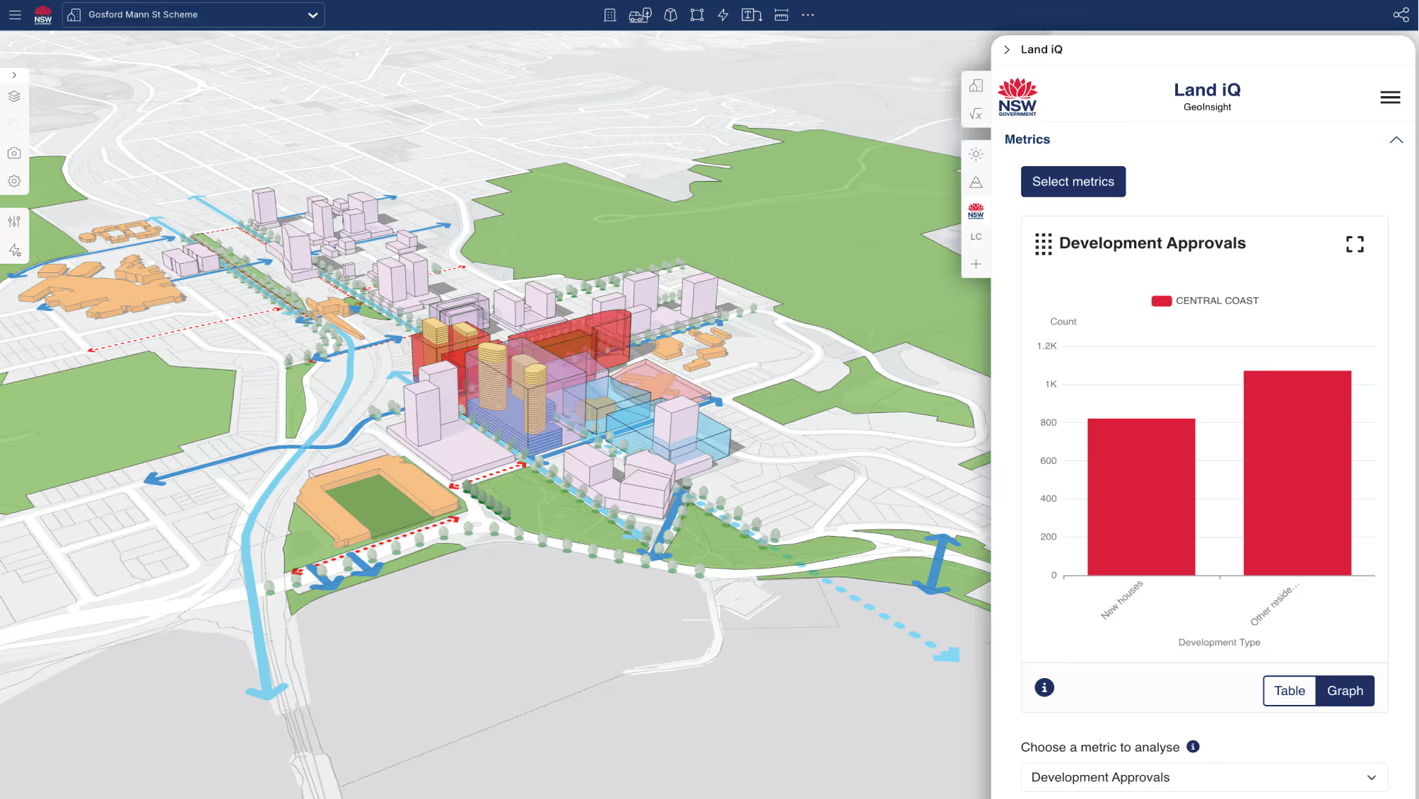
Create designs and automatically calculate key metrics, showing real-time impacts of every change.
Generative Design
Configure and edit custom algorithms to explore multiple design scenarios in minutes.
See real-time metrics behind every design move
Dynamic Insights
Eliminate delays between design iterations with calculations that keep pace with your creativity.
Formula Builder
Build your own models automatically applied to every design variation.
Visual Storytelling
Turn complex data into clear visuals to communicate value to clients and stakeholders.
See why making the switch to Giraffe
Giraffe has been fantastic for our emerging consultancy. We have been able to rapidly reduce the time and improve the quality of our built form mapping including indicative 3D building footprints, hosted spatial layers on a web browser and utilize a vast array of flexible features.
An excellent platform to analyse and evolve city and development solutions.
Giraffe isn’t just about making something look good—it’s about creating a fundamental shift in how we approach and think about urban design.
The drawing tools make it really easy to move through design options rapidly, meaning you can iterate on your options and get metrics instantly to help you understand your decisions. The immediate context is also always there, it gives you such a good understanding of the site's surroundings and that's invaluable for early stage design.
We wanted to demonstrate Giraffe’s accuracy to a client so I took the Giraffe model, output a DXF file, and rebuilt it in Revit (because that’s what they were used to seeing). What did it show? The Revit and Giraffe models were different by only 1%...that’s it! And Revit took me 10x as long, maybe more.
I use Giraffe every day at this point as part of my toolbox. I spent a lot of time looking at tools that work on the bleeding edge of developer feasibility. Ultimately I landed on Giraffe for lots of sensible reasons...but also because when I open it, it shows me downtown Oakland. It makes me smile to see my hometown pop up when I start work.
We’re cutting down from weeks or months to a day or days in terms of that analysis – to find the site and take a site design and layout
We were in need of a tool set that gave our team an edge when exploring new development opportunities. By implementing Giraffe, our team was able to move at a faster speed when analyzing opportunities – our ability to assess a site went from weeks to hours with virtually no consultant involvement. Having this time back is incredibly valuable to our team and our business.


