
1. Data + Evidence
Centralise your data library
- Connect and organise your spatial datasets in one shared library.
- Link third-party data feeds and APIs to query your evidence base alongside your spatial data.
City Planning Platform
Giraffe City is a data-driven policy, design and engagement platform for planners and urban designers.
Trusted by

The problem
Without a clear view of your controls, it’s hard to know which levers to pull to meet housing and growth targets.
Creating controls and development envelopes by hand means fewer options get explored before decisions are made.
PDFs and 2D maps leave room for misinterpretation, so communities and stakeholders can’t see what will actually change.
Encode and visualise your policy, then test controls against housing targets, infrastructure and environmental constraints.
Create envelopes and compare the capacity, feasibility and impacts of each scenario, from city scale to parcel level.
Shared 3D models make proposals tangible for communities and stakeholders.
1. Data + Evidence
2. Digitise
3. Test
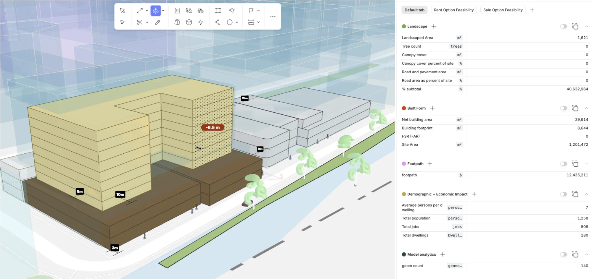
4. Design
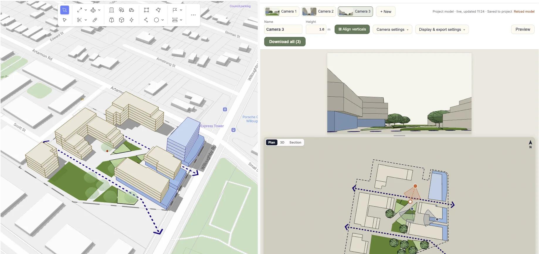
5. Engage
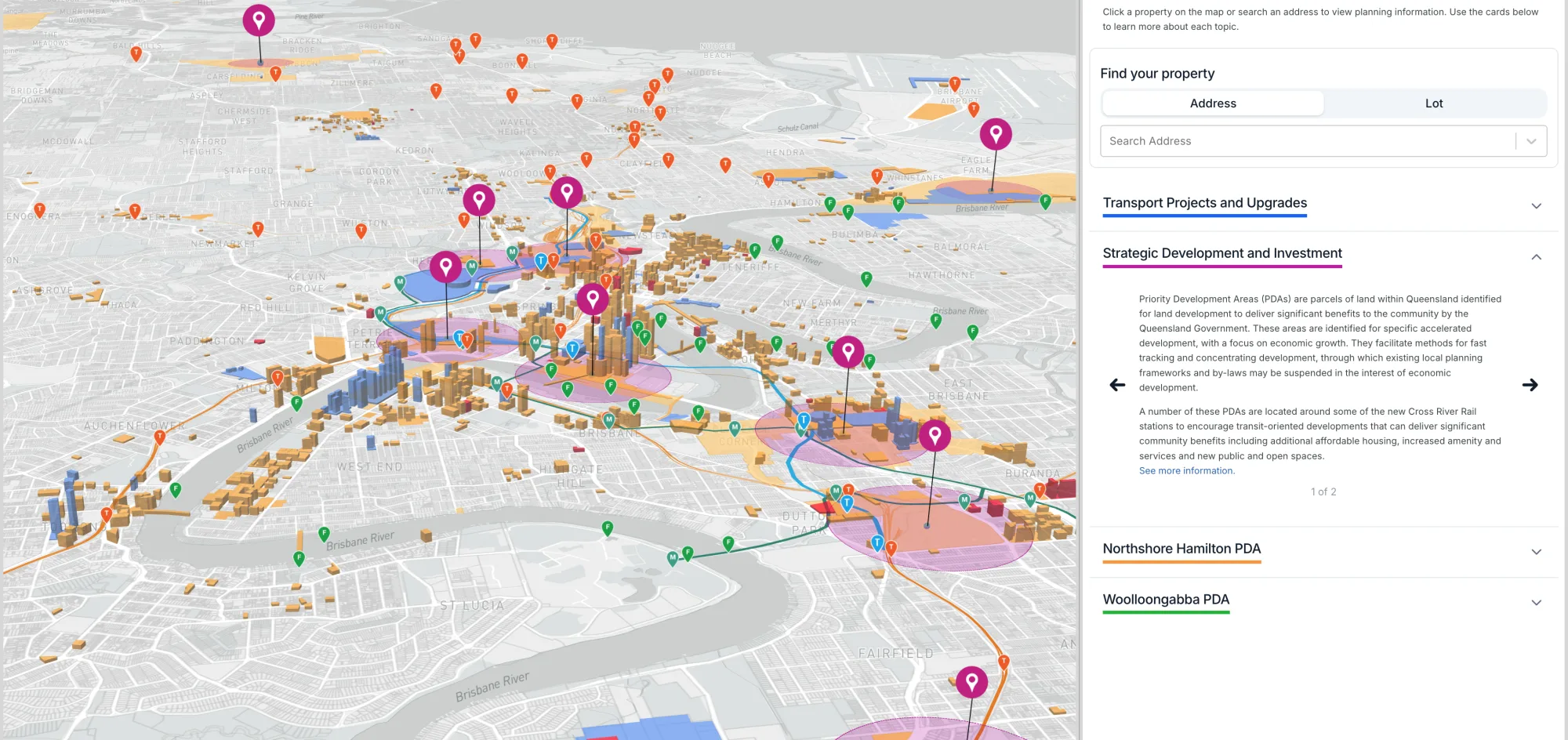
The apps
Included apps
In the box
And a growing ecosystem of paid and free apps
Hover an app to see what it does.
Case study · NSW Government
The NSW Government has built a suite of Apps in the Giraffe ecosystem to help planning and property professionals make faster, smarter decisions. It is a powerful digital tool for strategically evaluating land use across NSW, leveraging the Giraffe platform to visualise and analyse data.
“Rather than paying a consultant, we’re able to generate it in-house in a matter of hours and days”Leon WalkerDeputy-Secretary, NSW Department of Planning, Housing and Infrastructure
Find sites, confirm viability, model yields, and prep for the investment committee.
Move from regional investment thesis to viable opportunities in minutes.
Determine commercial feasibility in hours, not weeks, by reducing reliance on consultants.
Qualify sites with confidence, test 20 scenarios in record time, and run your numbers in real time.
Find sites for solar and battery projects, evaluate constraints, and compare scenarios in one place.
Plan large-scale developments, explore different land use scenarios, and evaluate their feasibility.
Teams*
US$1,500/user/year
No trial for Teams: create your account from the admin menu after signing up.
Start nowCustom onboarding
US$2,00010 hours of our time
Managed service
Additional support
Enterprise-grade security. Your data is protected by industry-leading standards. Read about security →


A-601 · Requests for information
Alongside them, not instead of them. GIS answers what is there; Giraffe City is for testing what could be, and what a control would produce if you wrote it. The core data structure is GeoJSON, so your layers come in and the outputs go back out to the systems you already run.
Those are systems of record: they hold what was lodged and what was decided. They are not built to ask whether the control was the right one. Giraffe City is the working model in front of them, where a scenario is tested, a precinct is designed, and an application can be checked against the envelope it is supposed to sit in.
Yes, and it is one of the strongest reasons councils use it. Share the live project and residents open the real model, the massing in its real context with the numbers visible, rather than an artist’s impression. The same works for briefing councillors, a panel or a state agency.
Planners draw a real precinct in their first session. It borrows its conventions from tools your team already uses, and it runs in the browser, so there is nothing to install and nothing to requisition first.
Thousands of searchable layers across hundreds of cities, including parcels, zoning and contours, plus your own data and direct connections to internal sources for enterprise deployments. The assumptions are yours and stay visible, so every number traces back to a decision somebody made on purpose.
Enterprise deployments cover SSO, audit logs, an SLA, bespoke datasets and custom apps, with the security documentation procurement will ask for. Teams often start on a single precinct to prove the value before any of that begins.