For Government
Built for city makers
Cities run on decisions. From housing to climate, every challenge demands coordination—across teams, systems, and time horizons. Giraffe is the operating system for urban policy: one place to align data, design, and strategy in real time. Giraffe empowers planners to lead decisively and with transparancy, so cities can move with purpose.
A digital canvas for building consensus
When policies meet politics, data alone isn’t enough.
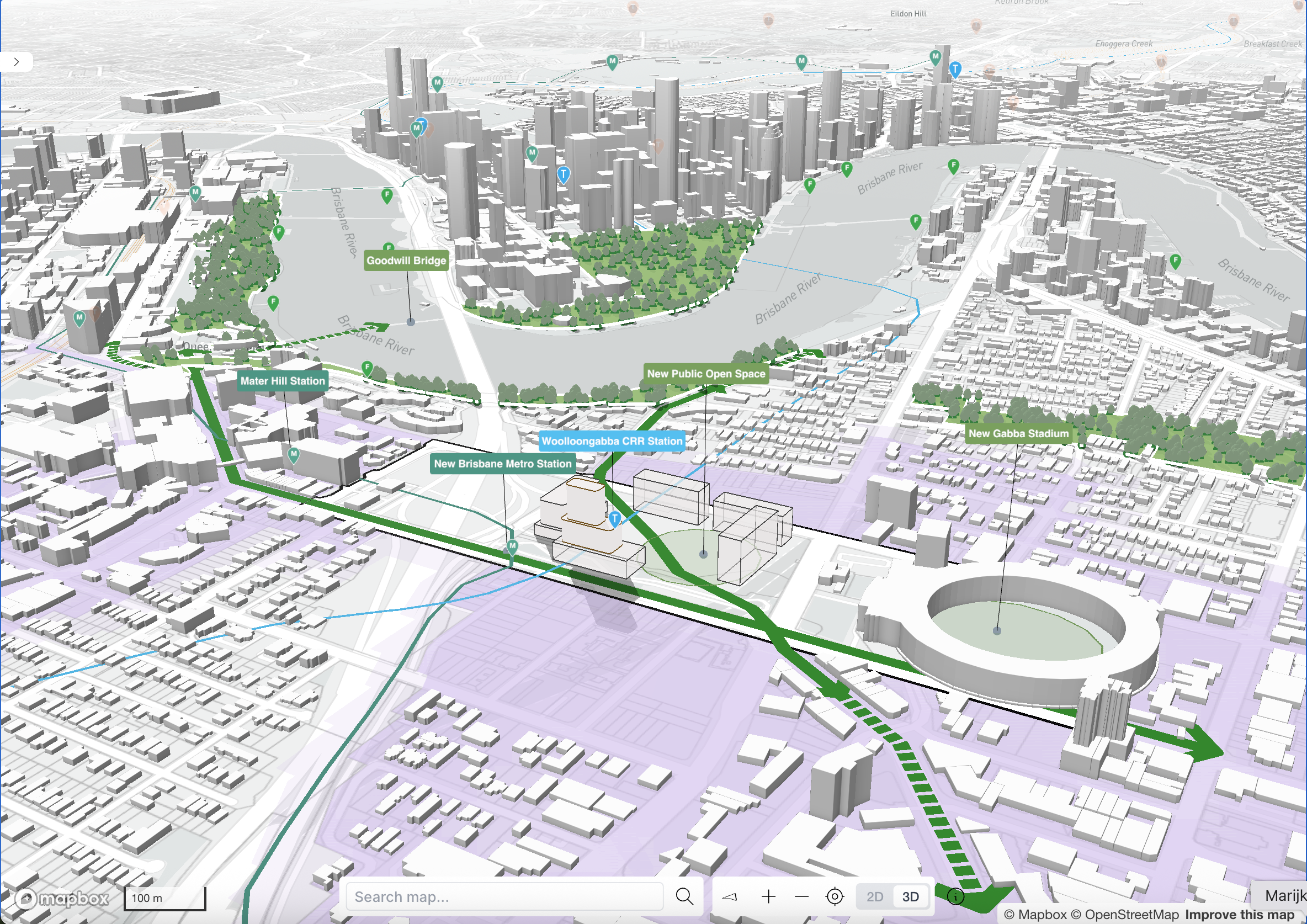
Giraffe helps planners navigate zoning, growth, infrastructure, and community needs—organizing everything in a shared, visual workspace. With clear, contextual insight, planners turn contention into coalition. Clarity doesn’t just inform decisions—it builds trust.
Model policy and adapt to change
Demographics shift. Policies evolve. Giraffe helps you keep up.
• Use live, federated GIS data—stream zoning, land use, hazards, and planning overlays directly from your trusted sources
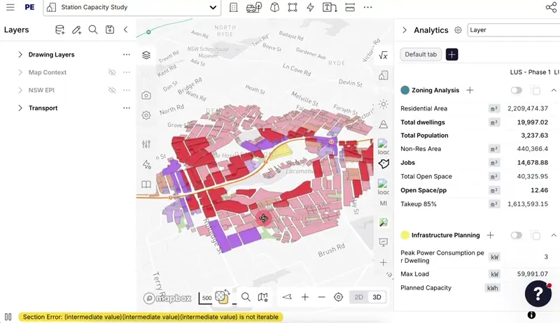
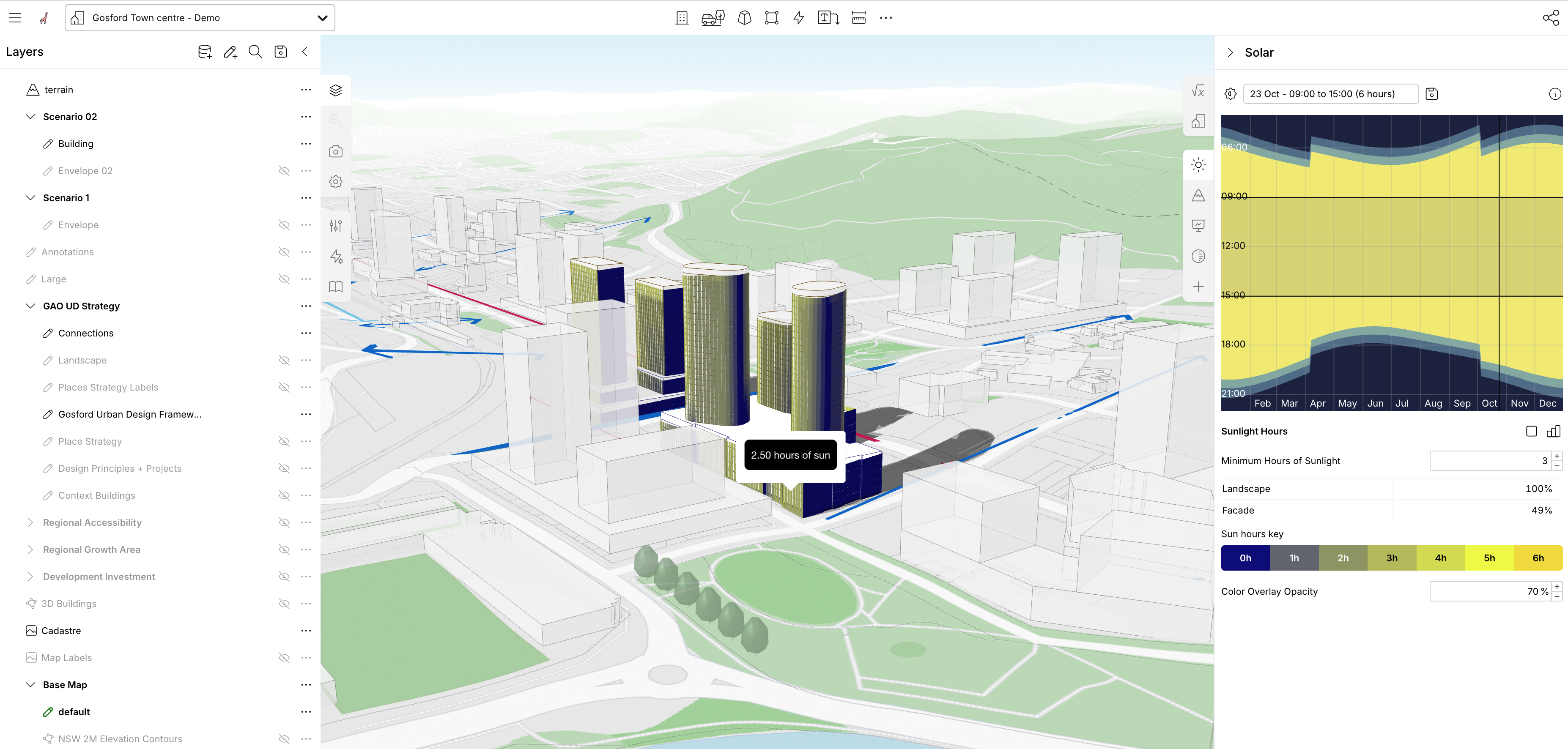
• Sketch & test policy in 2D/3D: draw envelopes, assess yield, FSR, sun and shadow, walkability, and more
• Stitch fragmented tools together—Giraffe combines data from GIS, Excel, SketchUp, Rhino, and more into one real-time view of your project
Giraffe turns the cacophony of urban policy data into clear and actionable plans.
A platform for urban Innovation
Smart city planners don’t chase trends — they build capabilities.
Giraffe helps governments shift from plans on paper to outcomes on the ground—and from scattered data to AI-ready strategy. With tools to align projects, people, and policy, Giraffe connects vision to delivery—whether you're modeling next quarter’s yield or decades of impact.
We know that security and privacy are a priority
We work with Governments all around the world so we understand the importance of privacy, security and data standards. The Giraffe Platform is built on Google Cloud Platform (GCP) and our security program is accredited to ISO 27001 and SOC 2 standards. We make regular changes to our information security posture to comply with best practices.
We make use of GCP’s multi-zone redundancy, backups, authentication management and logging, and our core database is backed up daily. Data is secure at all times, and is encrypted both at rest and in transit as per the GCP encryption processes and standards.
For more information on our IT, Cyber and Privacy policies please see our Knowledge Base.
An operating system for urban policy
Your city, all in one place.
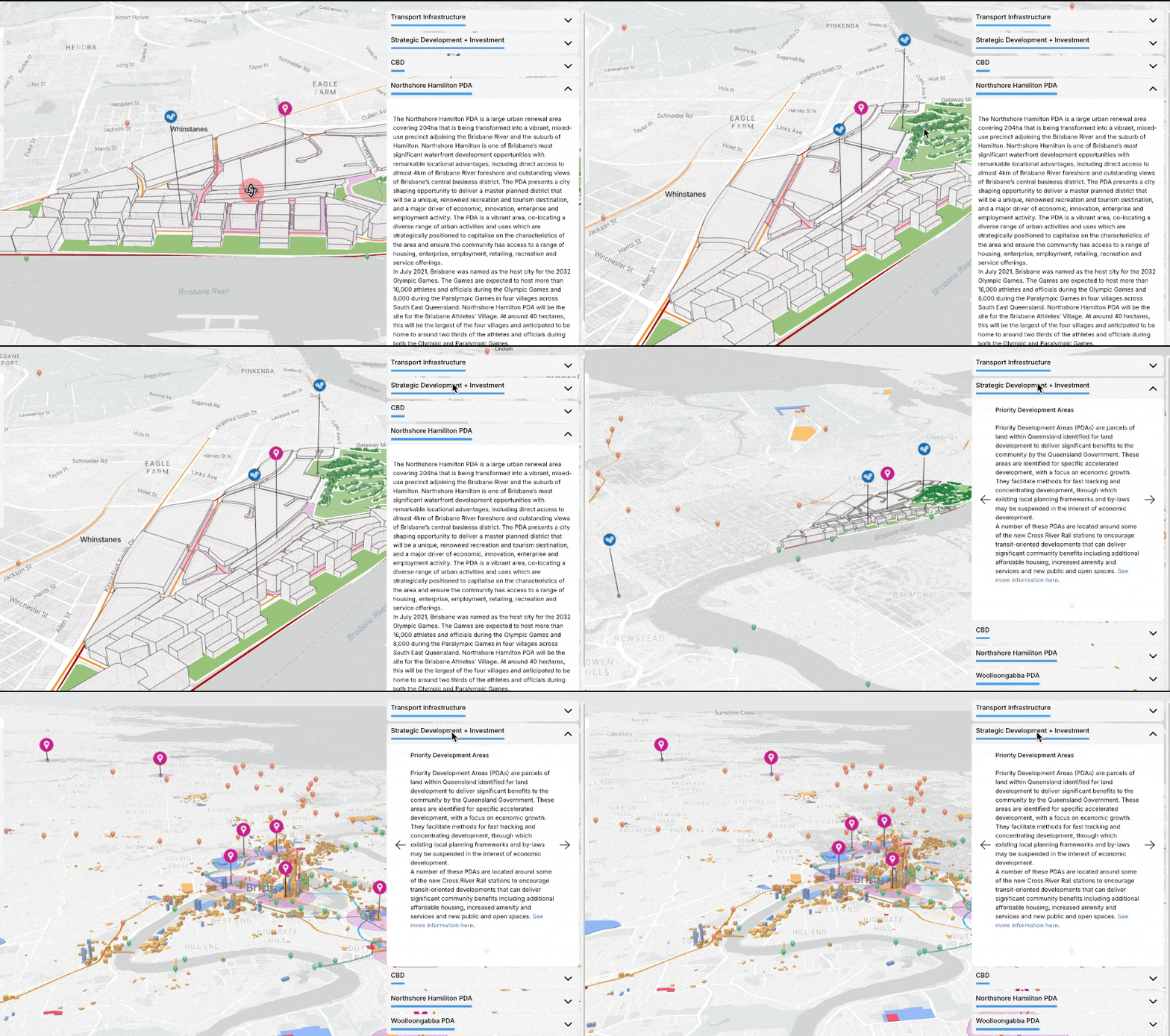
From rezoning to infrastructure upgrades, Giraffe gives planners a single, interactive map to coordinate projects and policies across departments. Attach tags, data, and status updates to each project—and see the full picture in one shared view. Control who sees what, with fine-grain permissions for teams, individuals, and workspaces. Whether you're tracking capital works, housing targets, or local strategic planning, Giraffe brings consistency to how your city plans, shares, and learns. Cut admin, reduce duplication, and build lasting institutional knowledge.
Connect planning workflows across departments.
In Giraffe, every project, policy, and scenario lives in one place—accessible to planners, engineers, asset managers, and executive teams alike. Whether you're testing feasibility, sharing design concepts, or aligning on capital priorities, Giraffe brings your tools and teams into a shared spatial workflow. Reuse components from past projects—complete with data, tags, and assumptions—so your city builds on what it already knows.
Make Giraffe the connected hub for your planning systems and data.
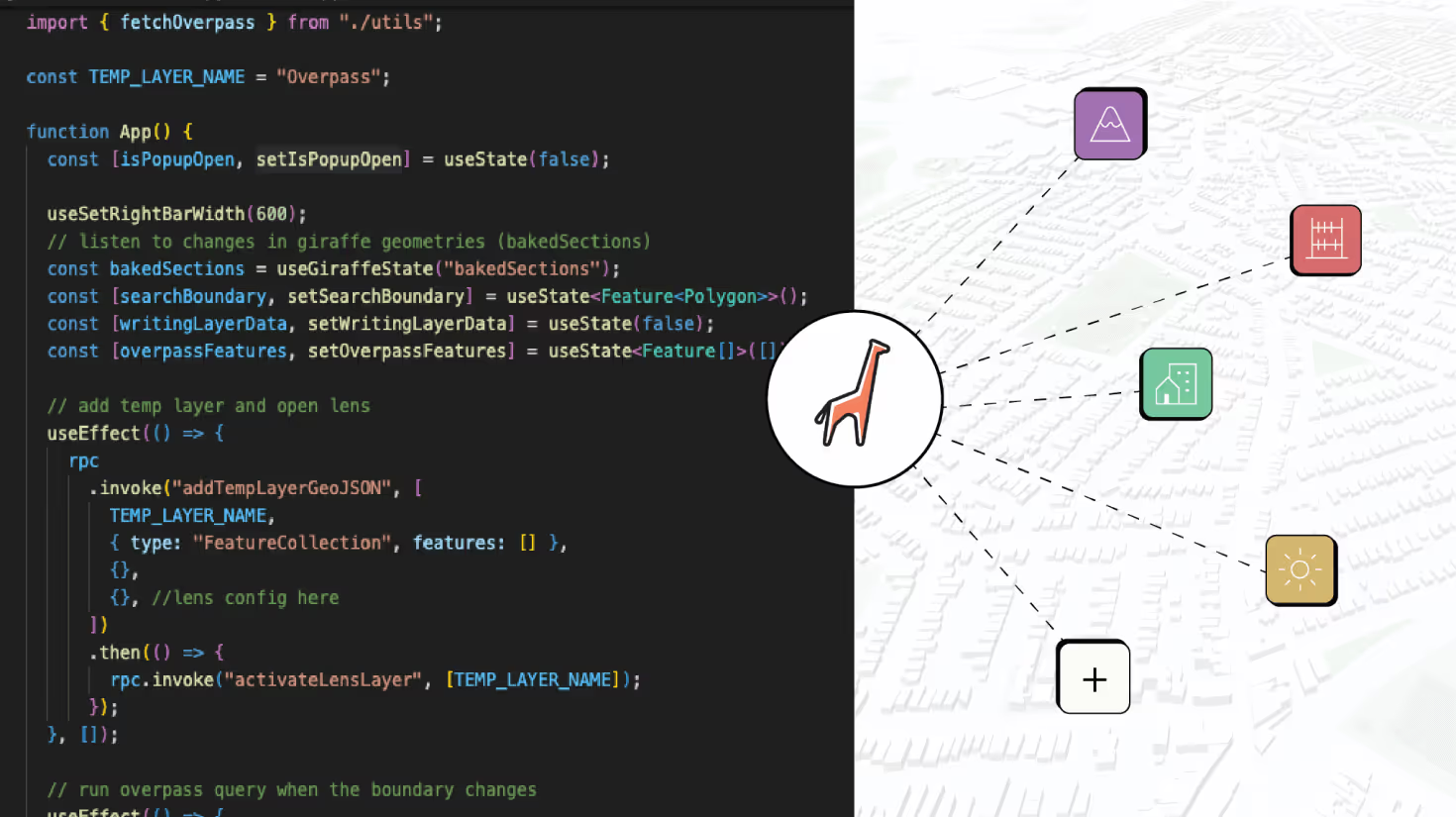
Giraffe’s SDK lets city teams connect the platform with internal tools, custom workflows, or external databases—whether you're linking spatial datasets, integrating legacy systems, or automating policy analysis. These custom apps run inside Giraffe and interact directly with your map—reading and writing geometry, layers, and data in real time. Built on open standards like GeoJSON, the SDK is simple to work with and powerful enough to support serious planning analysis.
Explore how in our Knowledge Base.


